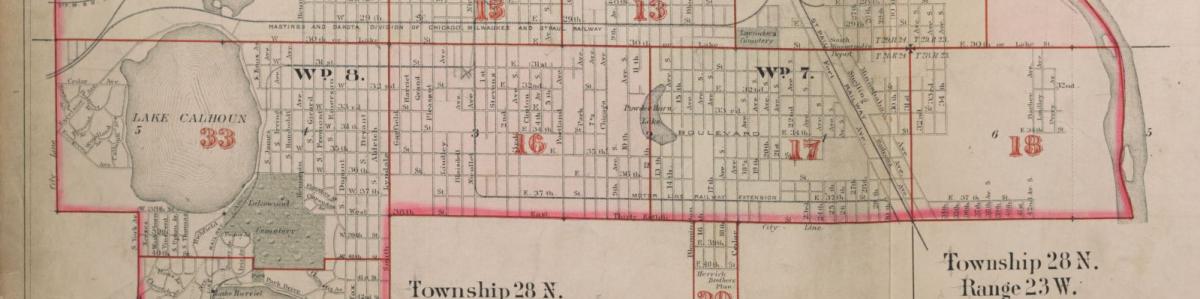
The John R. Borchert Map Library collection at the University of Minnesota, Twin Cities Libraries includes maps of Minnesota from the 1850s to the present, United States Geological Survey topographic maps and aerial photographs for the state of Minnesota from the late 1930s to the present. The library also includes atlases and thematic and topographic maps for most countries in the world, some dating back as many as 400 years. For the Minnesota Digital Library, the John R. Borchert Map Library contributed maps and atlases including city and county plat books and a late 19th-century atlas published by the Mississippi River Commission.
Contact Information
University of Minnesota Libraries, John R. Borchert Map Library
309 19th Ave. South
S76 Wilson Library
Minneapolis, MN 55455
United States
University of Minnesota Libraries, John R. Borchert Map Library website